Story By: Kebba Ansu Manneh and Photography by: Momodou S Gagigo
An exclusive investigation by The Alkamba Times into the escalating Gambia-Senegal border crisis has established that farmlands currently claimed by Senegalese authorities fall squarely within Gambian territory. The findings, based on GPS mapping and detailed accounts from community leaders in Jimbala Kerr Musa in the Lower Saloum District in the Northern Central River Region, contradict recent eviction notices issued to the Gambian farmers and raise serious questions about the integrity of boundary markers along this stretch of the border.
The probe was launched on Tuesday, 4 August, after Senegalese officials served notices ordering The Gambian farmers to vacate the disputed plots or face unspecified consequences. The Alkamba Times Senior Investigative Journalist Kebba Ansu Manneh traveled to the area and used GPS technology overlaid on Google Maps to measure the positions of existing border pegs against the internationally recognized boundary line. The exercise revealed a discrepancy of approximately 200 meters, placing the contested farmlands on the Gambian side of the official demarcation.
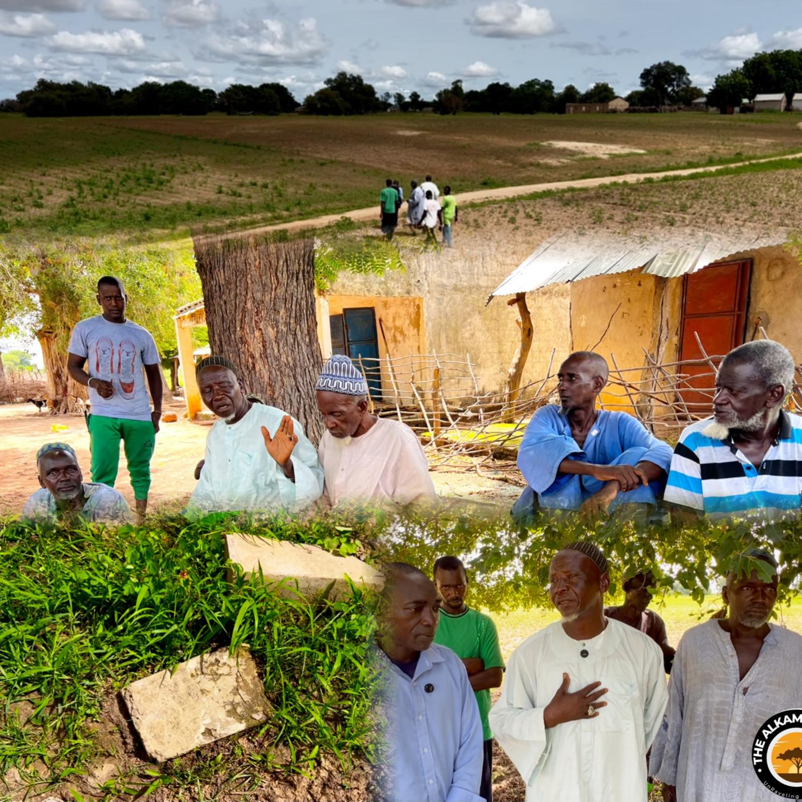
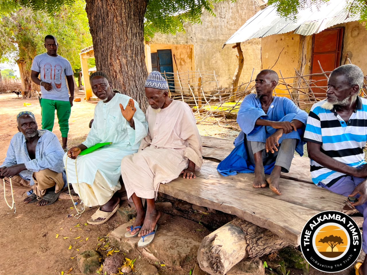
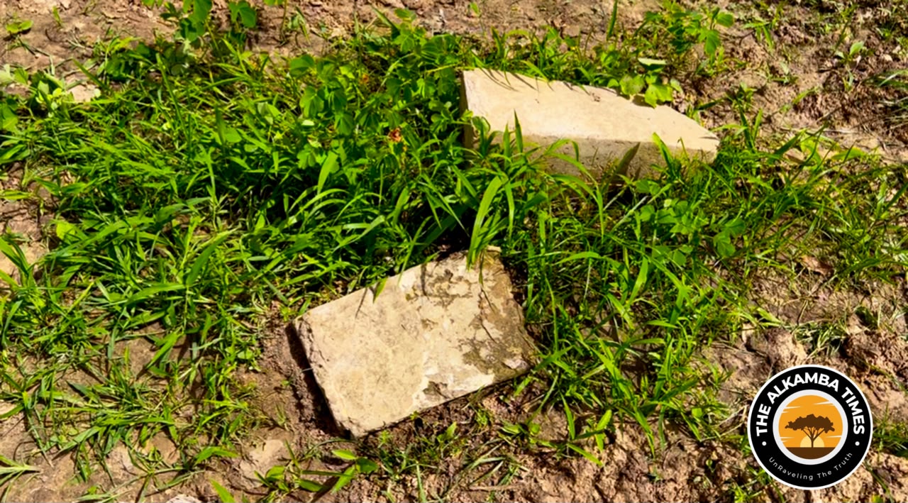
Community elders in Jimbala Kerr Musa independently corroborated the technical findings. They allege that border pegs have been deliberately shifted deeper into Gambian land over a period of years, allowing Senegal to encroach on territory long recognized as Gambian. Two pegs situated between Jimbala Kerr Musa and the neighboring Senegalese villages of Jimbala France and Jimbala Raneiru were found uprooted and partially damaged, in stark contrast to other boundary markers in the vicinity that remain firmly planted and intact.
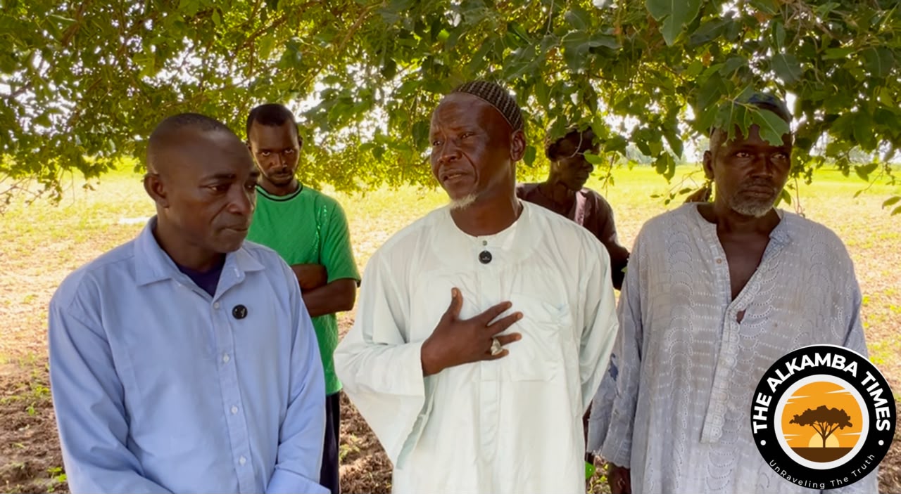
Fafa Ceesay, a 75-year-old native of Jimbala Kerr Musa, told The Alkamba Times that the current placement of the pegs does not match the border he and his peers knew as children. “The border has never been here; it was way ahead of where these pegs are currently positioned,” Ceesay said.
“During our childhood days, our elders showed us the border between The Gambia and Senegal, and we have been living side by side without ever having any issues regarding the border or farmlands.”
He pointed to visible signs of interference: “If you look at these pegs, you will realize that they have either been uprooted or damaged to be able to bring them to their current position.
Unfortunately, we never thought this removal of these pegs would one day bring trouble for us; this is why we never raised the issue to government.”
Ceesay emphasized that the land now under claim has been farmed continuously by residents of Jimbala Kerr Musa for decades without challenge, and he urged both Gambian and Senegalese authorities to visit the site and verify the true boundary.
Bubacarr Bah, another elderly resident, echoed these claims. He stated that the original pegs stood well beyond the farmers’ fields and had been moved further into Gambian territory without the knowledge or suspicion of the local community. According to Bah, the relocation occurred long ago and went unnoticed until the recent eviction notices brought the matter into sharp focus.
The Alkamba Times was unable to obtain independent confirmation of the villagers’ allegations from local Gambian authorities at the time of publication. However, the GPS readings and the physical condition of the damaged pegs—showing clear evidence of tampering—lend substantial weight to the community’s account.
Attempts to speak with residents of the Senegalese villages of Jimbala France and Jimbala Raneiru proved largely unsuccessful. Several individuals approached by the reporting team declined to comment. One resident of Jimbala Raneiru, speaking on condition of anonymity, confided that Senegalese authorities had explicitly warned villagers against discussing the matter with any journalists.
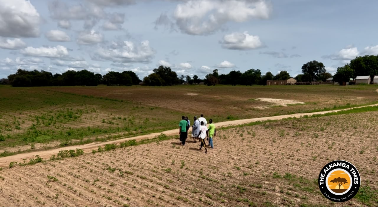
The discoveries come at a sensitive moment in bilateral relations. While The Gambia and Senegal have historically maintained close ties and managed border issues through quiet diplomacy, the issuance of eviction notices and the apparent alteration of physical markers risk inflaming local tensions and complicating official efforts to resolve the dispute. Residents of Jimbala Kerr Musa continue to farm the land in question, insisting it has always formed part of their community’s livelihood and territorial heritage.
The Alkamba Times investigation underscores the urgent need for a joint technical survey by both governments, using modern geospatial tools and historical records, to re-establish an accurate and mutually accepted boundary. Until such a process is completed, the uncertainty surrounding the Jimbala farmlands leaves Gambian farmers in a precarious position. It raises broader questions about the security of border demarcations elsewhere along the Gambia-Senegal frontier.
Further reporting will follow as The Alkamba Times continues to monitor developments and seeks official responses from both capitals.